
Dhaka,
one of the fastest-growing megacities in the world, faces significant transport
challenges. Traffic congestion, long commute times, limited public transport
coverage, and rising pollution affect the daily lives of millions. Traditional
planning methods often struggle to respond to the complexity of such a rapidly
growing city. Modern GIS technology offers a solution by providing planners
with detailed spatial insights that help design efficient, sustainable, and
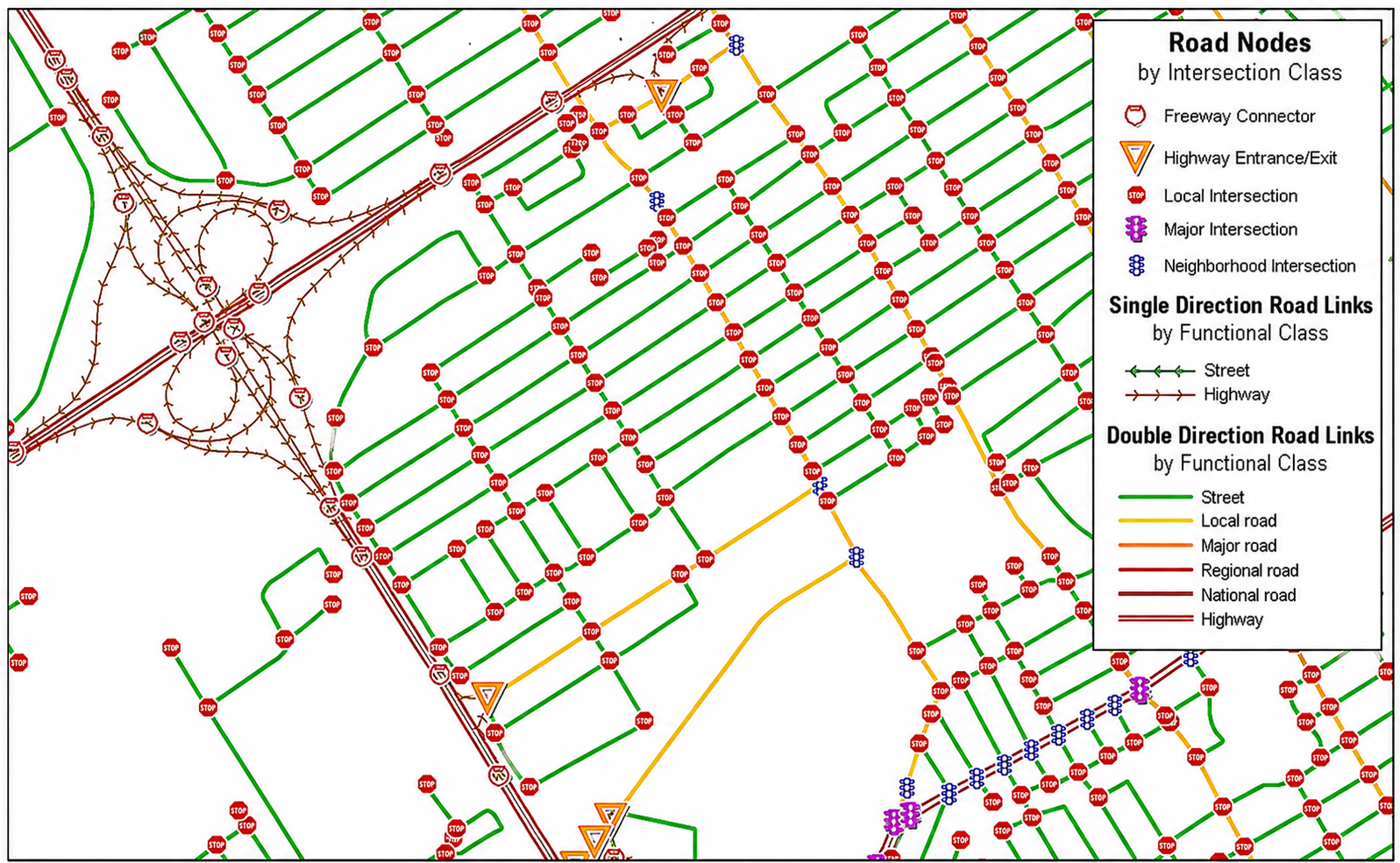
inclusive transport systems. By mapping road networks and integrating real-time
traffic data, GIS helps identify congestion hotspots and evaluate alternative
routes. For Dhaka, this means policy makers can predict traffic patterns,
optimize signal timings, and plan new roads or flyovers in locations that will
have the greatest impact. The result is shorter travel times, reduced fuel
consumption, and lower emissions, making daily commutes smoother for residents.
GIS
can allow city authorities to visualize and analyse passenger movement across
the city. Planners can identify areas that are underserved by buses or metro
lines and design routes that maximize coverage while minimizing travel time. By
overlaying population density, road networks, and existing transport routes,
GIS ensures that new bus corridors or metro expansions reach the neighbourhoods
that need them most, supporting equitable access to public transport. Beyond
major roads and public transport, GIS can help improve last-mile connectivity.
By analysing walking and cycling paths to transit hubs, planners can create
safer and more convenient routes for commuters. In densely populated areas or
neighbourhoods far from major roads, GIS can help design pedestrian-friendly
corridors and bike lanes, encourage sustainable mobility and reduce reliance on
private vehicles.
In
a congested city like Dhaka, emergency response can be delayed without proper
planning. GIS technology can help to determine the fastest routes for
ambulances, fire trucks, and disaster relief vehicles. It also can identify
strategic locations for emergency facilities, ensuring better coverage and
faster response times during floods or other natural hazards, particularly in
low-lying areas near the Buriganga and Dhaleshwari rivers.
GIS technology not only
improves efficiency but also supports sustainability. Optimized transport
routes reduce fuel consumption and emissions, while better integration of
walking, cycling, and public transport options makes the city more environmentally
friendly. With its ability to visualize complex spatial data and simulate urban
mobility scenarios, GIS has become an indispensable tool for building a
smarter, greener, and more connected Dhaka. Transforming Dhaka’s transport
system requires more than just building roads, it demands data-driven planning,
foresight, and sustainable solutions. GIS technology can empower planners to
understand how people move, where bottlenecks occur, and how new infrastructure
can make the greatest impact. By leveraging these insights, Dhaka can move
closer to a future where traffic jams are minimized, public transport is
accessible, and urban mobility works efficiently for everyone.
Share this page via
More from Farah Shamima Sultana