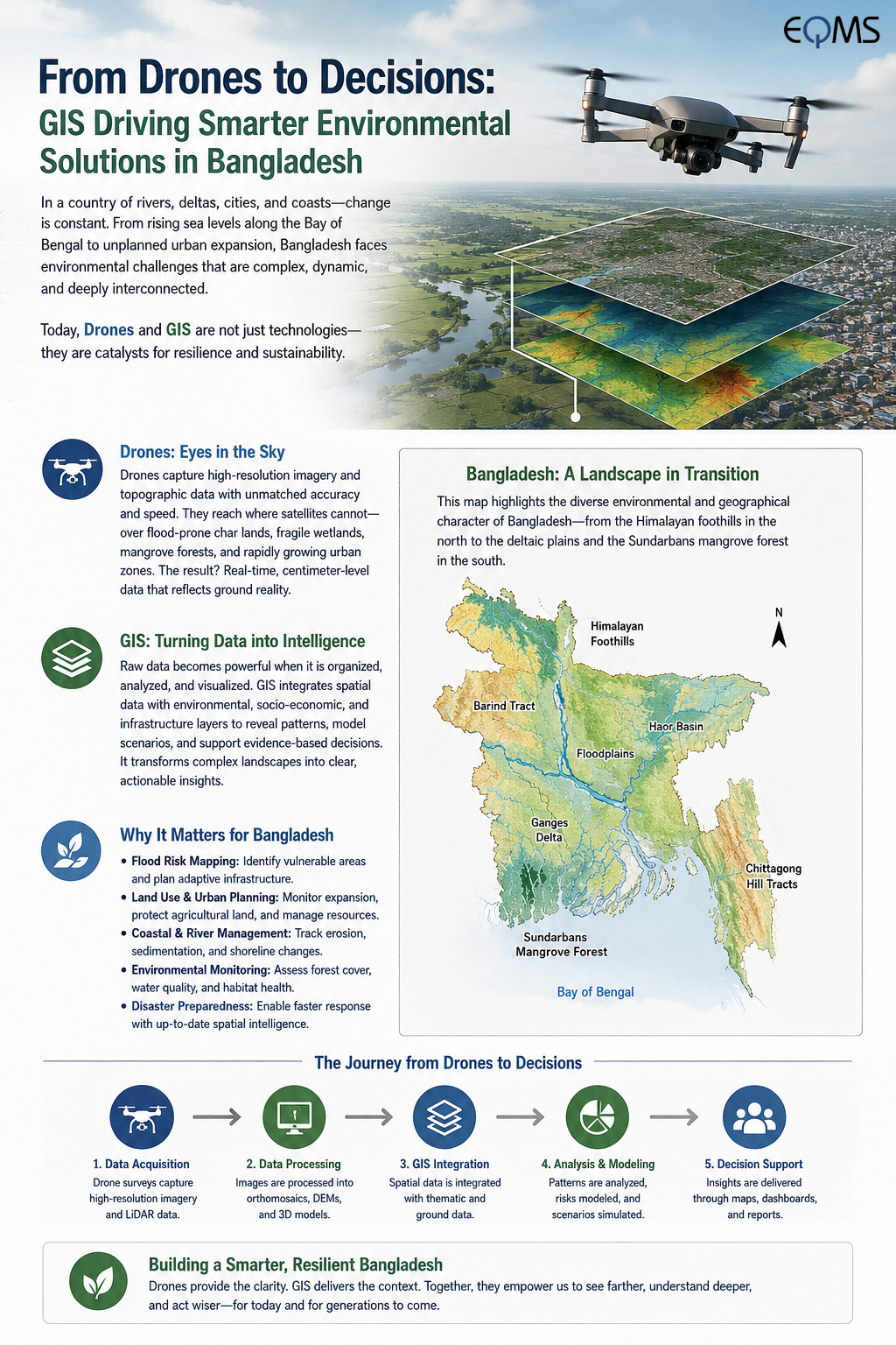

In today’s world, where every pixel of information can shift the way decisions are made, technology has become more than just a tool—it has become a compass. Across the field of environmental consultancy, the integration of drone surveys and geospatial intelligence is redefining how we observe, analyse, and plan our surroundings.
Seeing the Unseen: The Power of Drones
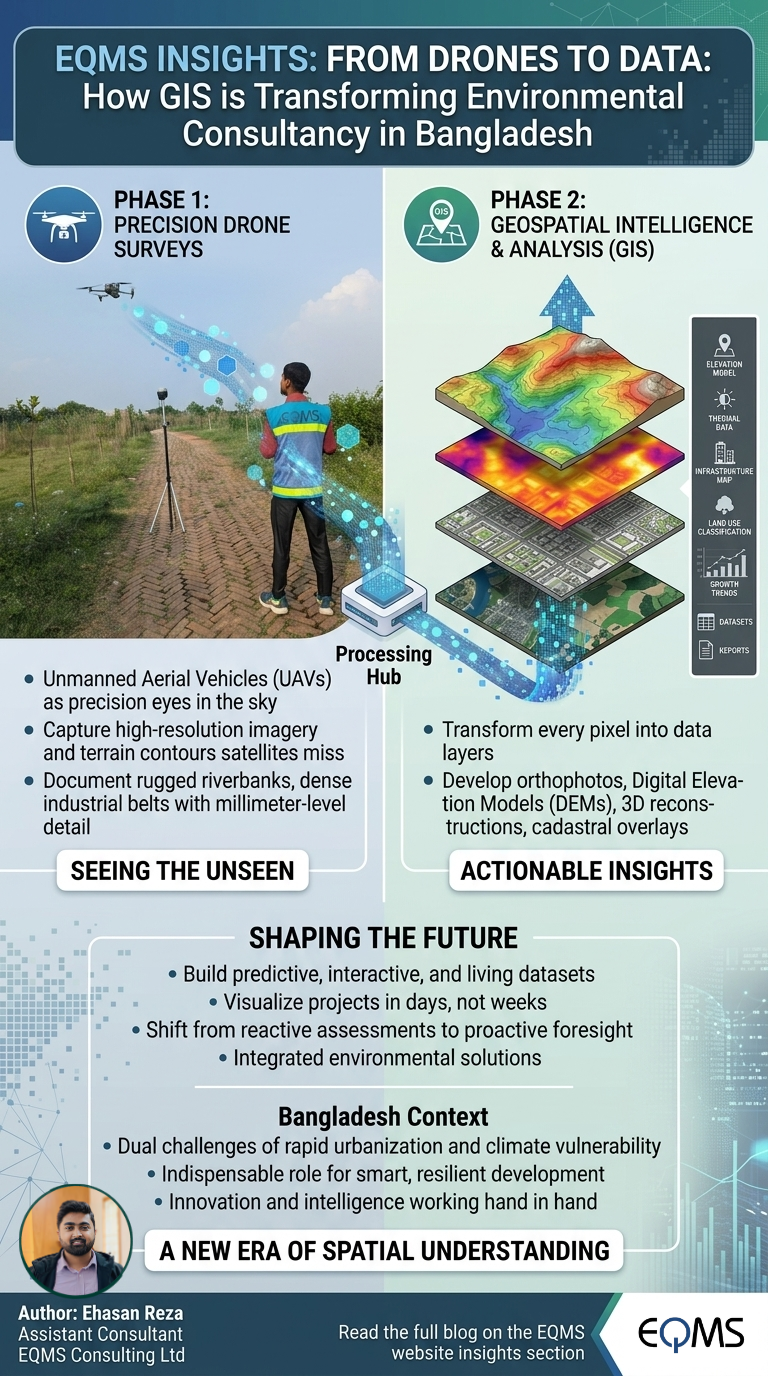
Unmanned Aerial Vehicles (UAVs), commonly known as drones, are no longer the toys of hobbyists. In professional hands, they act as precision eyes in the sky, capturing high-resolution imagery that satellites often miss. From rugged riverbanks to dense industrial belts, drones allow us to document terrain in millimetre-level detail, ensuring no contour is overlooked.
From Pixels to Patterns: GIS at the Core
But images alone are not enough. This is where Geographic Information Systems (GIS) comes alive. Every pixel captured by a drone is transformed into data layers—orthophotos, digital elevation models, 3D reconstructions, cadastral overlays. Together, they form a geospatial mosaic, guiding planners, engineers, and policymakers toward smarter, data-driven decisions.
Whether it is urban planning, bathymetric analysis, renewable energy zoning, or environmental risk assessment, GIS provides the analytical backbone that translates aerial visuals into actionable insights.
Shaping the Future of Consultancy
Environmental consultancy is no longer confined to reports and maps; it is about building predictive, interactive and living datasets. With drones feeding raw accuracy and GIS sculpting intelligence, projects that once took weeks can now be visualized in days—without compromising precision.
This transformation is not just technological—it is cultural. It signifies a shift from reactive assessments to proactive foresight, from paper-based maps to immersive 3D landscapes, and from fragmented decisions to integrated environmental solutions.
Looking Ahead
As Bangladesh faces the dual challenges of rapid urbanization and climate vulnerability, the role of drones and GIS in environmental consultancy is no longer optional—it is indispensable. This synergy is shaping a new era of spatial understanding, one where innovation and intelligence work hand in hand to design a more resilient future.
Share this page via
More from Ehasan Reza