
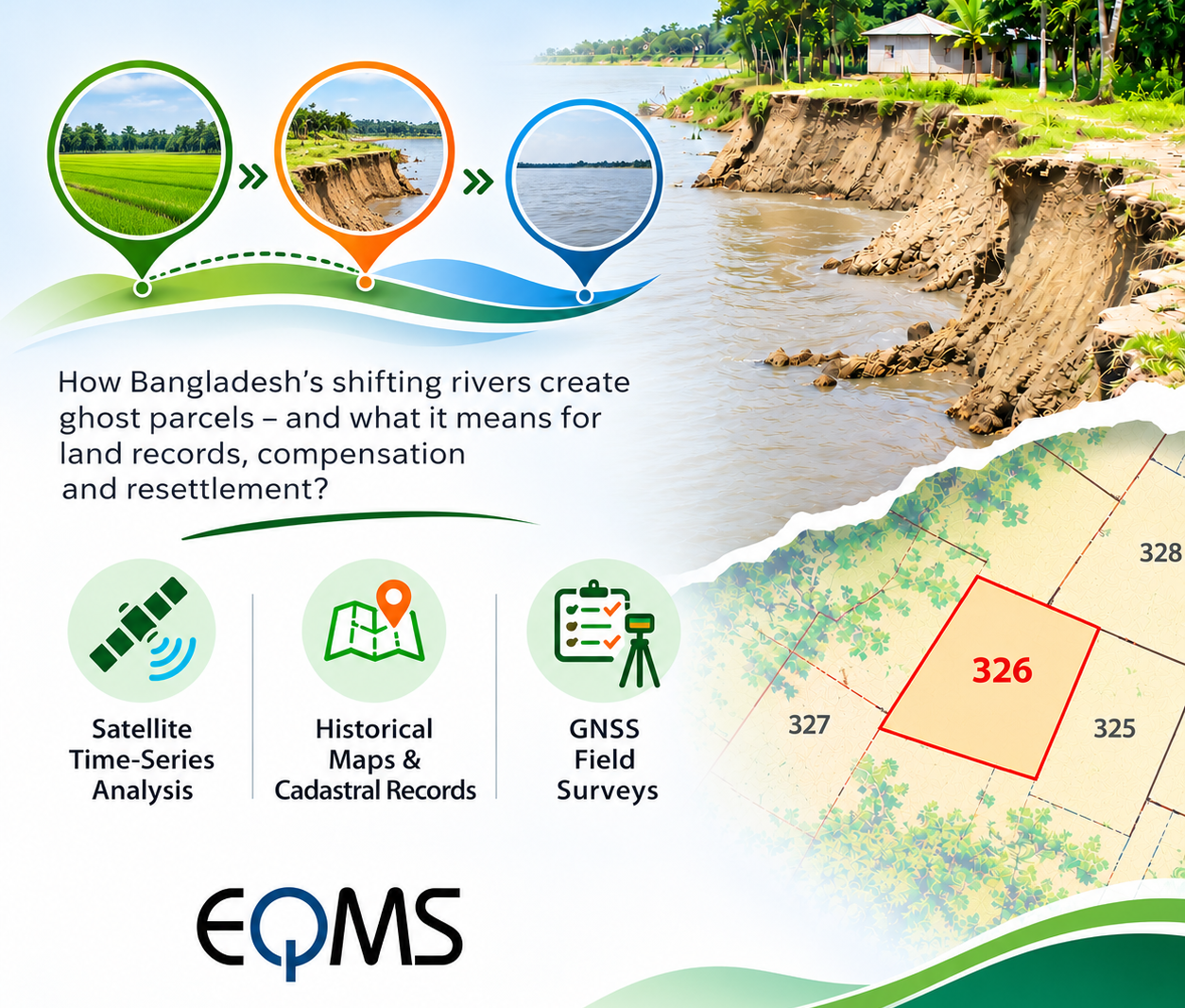
In Bangladesh, a river can swallow an entire village, but
the land may continue to exist on government records. A family may lose its
homestead, agricultural fields and livelihood to the Jamuna or Padma River, yet
the same land can remain identified by a plot number (dag) and ownership record
(khatian). This creates a peculiar situation: the land has physically
disappeared, but its documentary identity survives.
Such properties can be described as “ghost parcels”- land that exists in cadastral records but no
longer corresponds to visible ground.
When Maps and Reality No Longer Match
Bangladesh's major rivers, particularly the Jamuna, Padma
and Meghna, continuously reshape their banks through erosion and sediment
deposition. River channels migrate, agricultural land disappears, and new chars
emerge.
However, cadastral maps prepared under the Cadastral Survey
(CS), State Acquisition (SA), Revisional Survey (RS) and Bangladesh Survey
(BS/BRS) systems may not reflect these changes immediately.
Consequently, a recorded parcel may fall entirely within an
active river channel. When land reappears through sediment deposition,
identifying its historical location and determining applicable rights can
become complicated.
Can Satellite Technology Identify Ghost Parcels?
Modern geospatial technology offers practical solutions. Satellite
time-series analysis using Landsat and Sentinel imagery can track riverbank
migration over several decades. By comparing historical and recent images, GIS
specialists can identify when and where land disappeared or re-emerged.
Historical mouza maps can then be georeferenced and overlaid
with satellite-derived river boundaries. This helps identify cadastral plots
affected by erosion.
Global Navigation Satellite System (GNSS) surveys provide
accurate ground coordinates for existing boundaries, while drone surveys can
support detailed mapping of newly emerged land.
Combining these datasets allows land administrators to
develop a spatial history of affected parcels, distinguishing permanently
submerged areas, seasonally inundated land and newly accreted land.
However, satellite imagery cannot independently establish
legal ownership. It provides geographical evidence that must be examined
alongside cadastral records, field verification and applicable laws.
The Legal and Administrative Challenge
Under Section 86 of
the State Acquisition and Tenancy Act, 1950, Bangladesh provides
procedures concerning land lost through river erosion, known legally as diluvion,
and rights associated with land reappearing in its original location within
specified conditions and time limits.
Section 87 addresses land gained through alluvion,
including government ownership provisions.
These distinctions are important because the reappearance of
land does not automatically establish an unrestricted ownership claim.
Implications for Development Projects
Ghost parcels can create significant complications during
land acquisition for roads, bridges, transmission lines, embankments and other
infrastructure.
Outdated cadastral records may lead to incorrect land
schedules, disputed ownership claims or difficulties determining compensation
eligibility. Similarly, families displaced by erosion may be absent from
current land-based surveys despite having suffered substantial livelihood
losses.
For Environmental and Social Impact Assessments (ESIAs) and
Resettlement Plans (RPs), integrating historical cadastral information with
satellite analysis and GNSS verification can improve land identification,
impact assessment and compensation planning.
Toward a More Resilient Land Information System
Bangladesh needs a land administration system that
recognizes rivers as dynamic geographical features rather than fixed
boundaries.
Integrating regularly updated satellite imagery, digitized
cadastral maps, verified field surveys and transparent land records could help
reduce disputes and improve planning.
When rivers change
the landscape, land information must evolve too. Otherwise, Bangladesh
risks maintaining ownership records for land that exists only on paper, while
the people who once depended on it remain invisible to the system.
Share this page via
More from Farah Shamima Sultana